01 / Scale-aware geography
Labels that know when to leave.
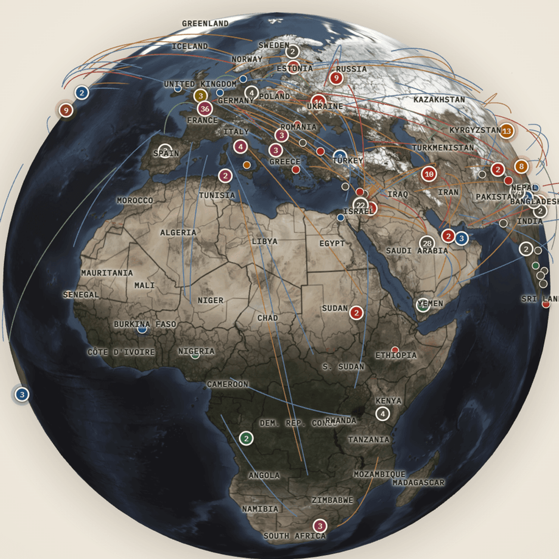
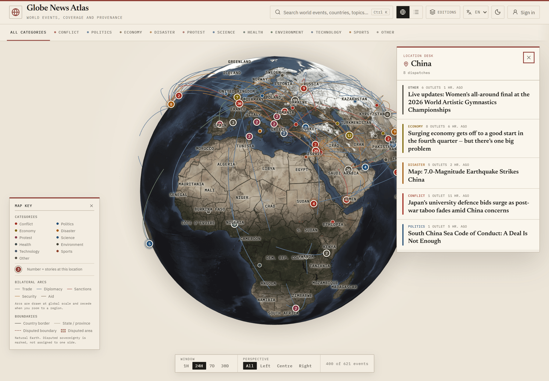
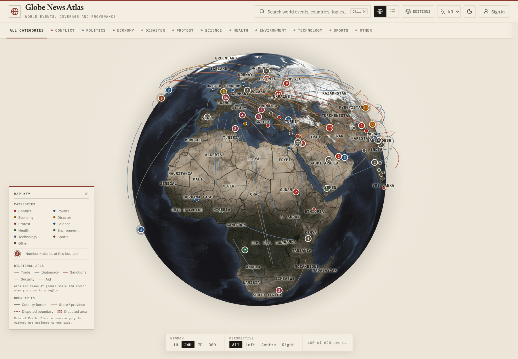
A world map that keeps every label visible becomes wallpaper. The atlas treats labels, markers, and arcs as zoom-dependent evidence rather than permanent decoration.
- Numbered markers group stories at one location and hold a constant screen size across zoom.
- Country labels sit at Natural Earth label points, collision-cull to the view, and hand off to state names only at deeper zoom.
- Trade, diplomacy, sanctions, security, and aid arcs recede once the reader moves to a regional scale.
- NASA day/night imagery sits under a boundary layer; disputed areas are tinted neutrally.